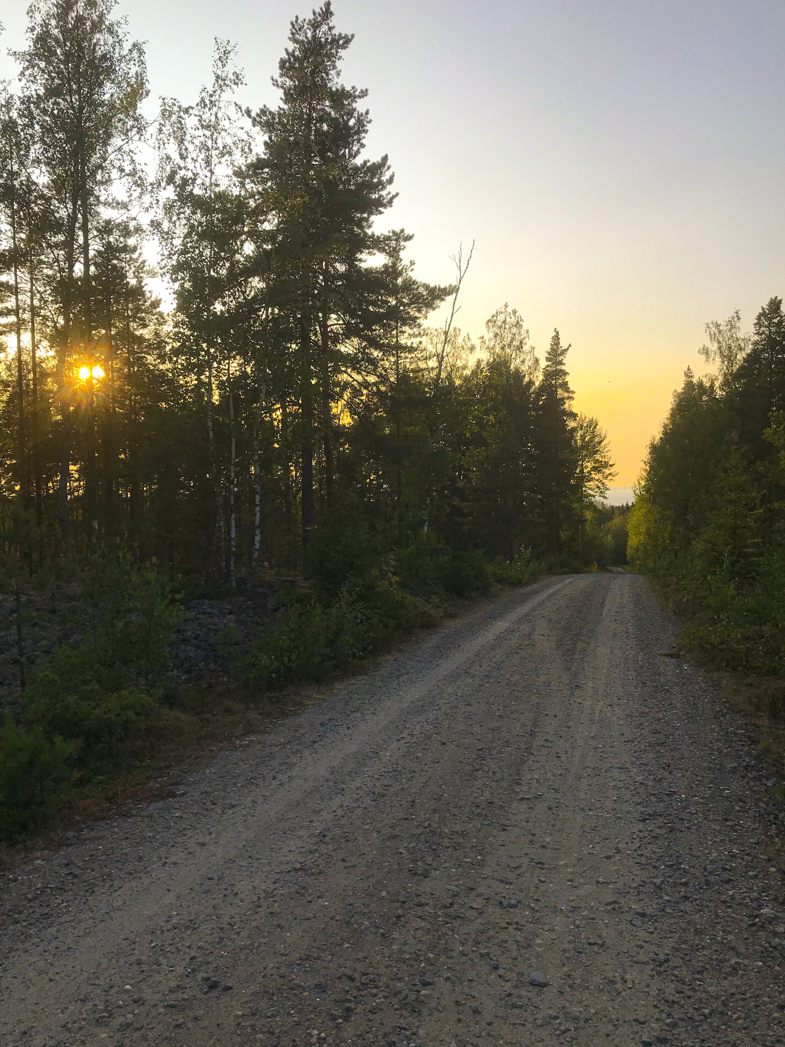
KIRKKOTIE - TAKE A BREATH ON THE ANCIENT BEACH
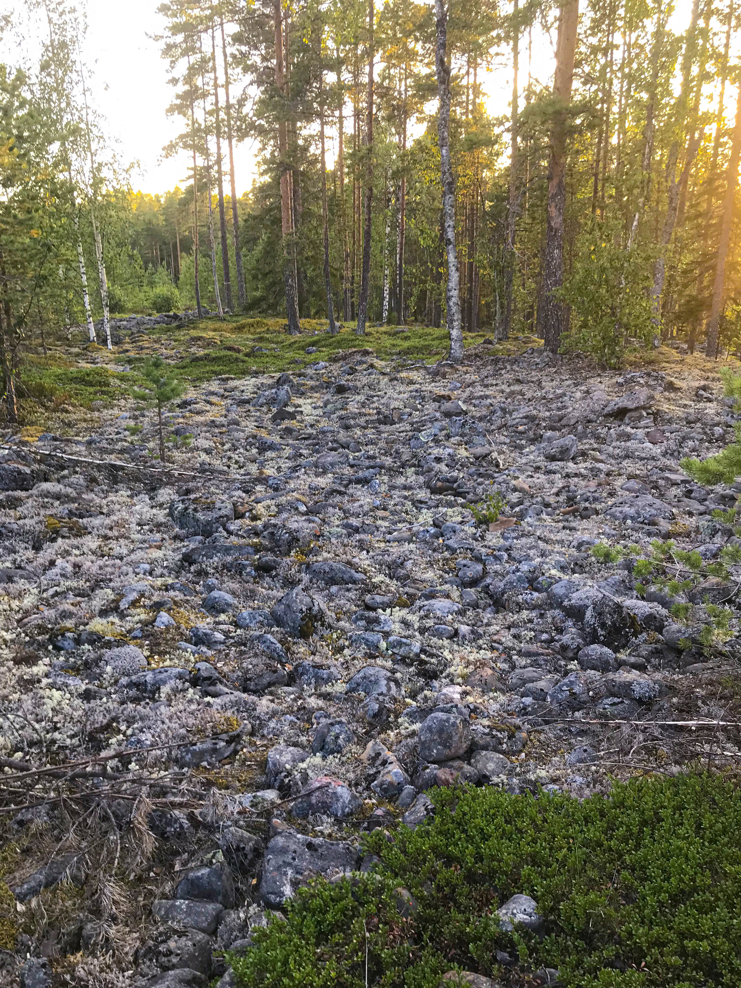
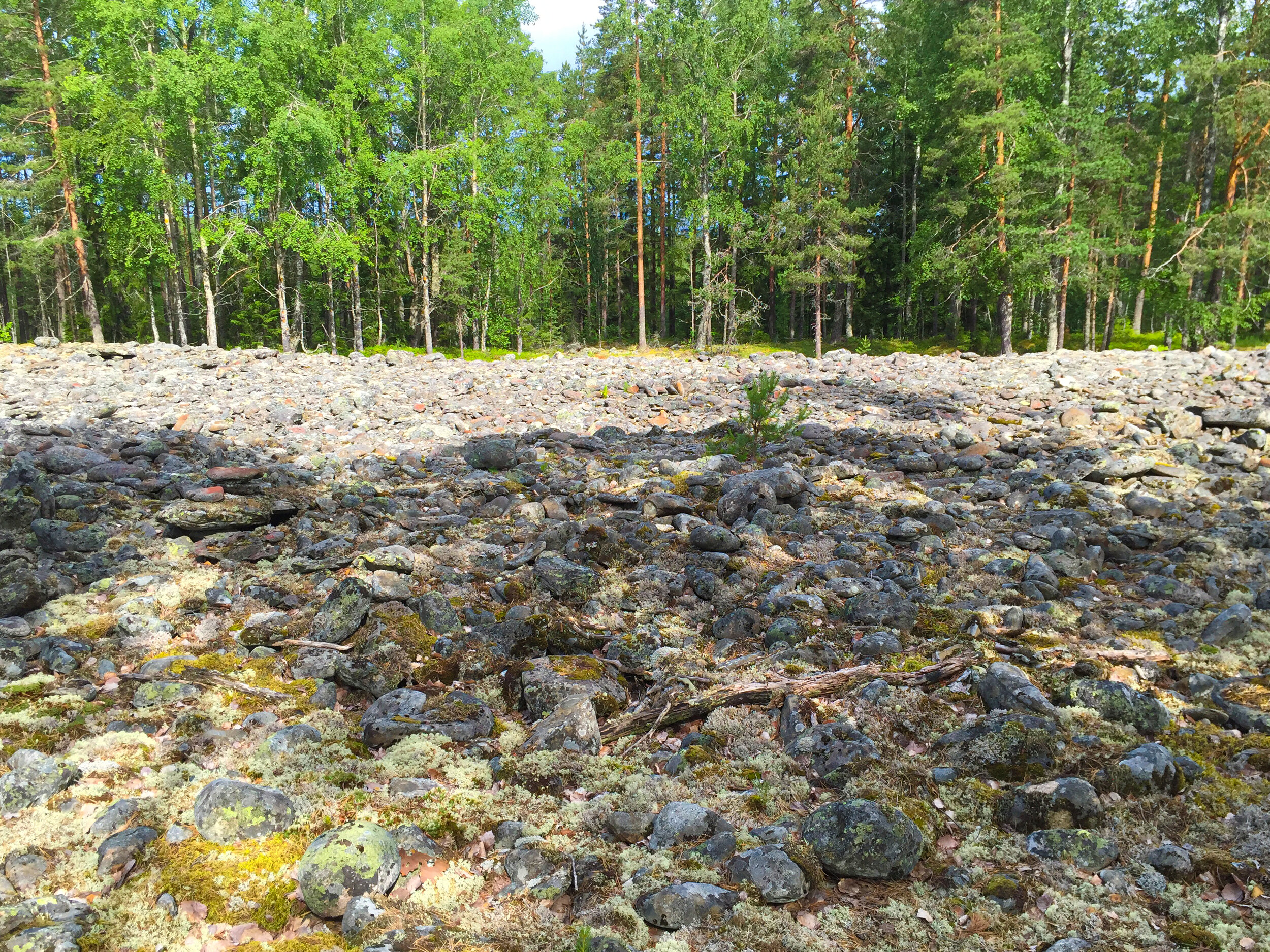
Southwest from the peak of Pyhävuori along Kirkkotie at the top of gentle slope there is a well-formed boulder field about 100 m x 50 m in size. The boulder field exhibits several shore terraces. This ancient shoreline lies 132-138 meters above the present-day sea level. It was formed 10 000- 9 000 years ago.
Standing on the Kirkkotie, you actually are by the ancient shoreline. From the road you can see the surface of the Craterlake Lappajärvi.
The name and the location of Kirkkotie road comes from the fact that the only church in the region was in Lappajärvi. Church served as a chapel of Pietarsaari parish from 1637 to 1812. For centuries, the faithful had to face a long and sometimes dangerous journey to the church.
Experience the Ancient stages of the Baltic Sea
After the ice age the entire surroundings of Kraatterijärvi were underwater.
The nearest areas untouched by water where the receding glacier melted on the dry land are in the eastern parts of Lake Alajärvi. As a result, the region has numerous formations created by ancient geological forces acting on seashores.
There are several boulder fields that indicate the presence of an ancient shoreline. As the land rose, water washed away finer sediments from the shoreline, leaving behind the boulder fields we see today. They indicate the ancient stages of the Baltic Sea and the elevations of the ancient shorelines.
Shoreline formations are created by the erosional and depositional action of waves, currents, wind and ice. When the shoreline is being eroded, the finer fractions like sand and silt are being transported, sorted and deposited to deeper water. As the water level recedes even more, the earlier deposits will be reworked by the same process. As a result, shoreline deposits of various thickness and composition are formed on hillsides like Pyhävuori.
More information: Craterlake Geotrail, destination 11
Location: Google Maps -link