LAKEHARJU - BEST VIEW OF THE CRATER LAKE
Lakeaharju workout stairs in Vimpeli offer excellent opportunity for fitness, with scenery being a real reward. Lakeaharju offers one of the best views of the crater lake.
Despite its name, Lakeaharju is not an esker like Hietakangas, but a part of the eastern crater rim that stretches from southwest of Pyhävuori to the north of Lakeharju. Much of it has been designated as nationally important outcrop area by the Finnish Environment Institute. Immediately after the impact, the crater rim was about 500–750 m above the floor of the crater and it still rises roughly about 100 m above the surface of Lake Lappajärvi. In Finland, as well as throughout the world, impact craters with preserved and easily accessible elevated rims are exceedingly rare.
However, the rocks in Lakeaharju do not show any direct evidence of the asteroid impact, but rather tell a story of a much earlier and different type of a collision.
The main rock types in the Kraatterijärvi area are the mica gneisses and mica schist. They can be seen especially on the east and north side of Lake Lappajärvi, with granite and pegmatite areas, for example Vanhavuori or the nationally important Vuorenkuru. Rock types which formed in the asteroid collision - impactite, suevite, and the impact breccia occur mostly under the lake and under the ground.
A glance at the rock types
The Earth’s lithospheric plates have been moving for at least 3,500 million years. The origin of the bedrock in the area is related to a collision between an oceanic plate and an older continental plate that took place about 1900 million years ago. This lead to the formation of a mountain chain. During this mountain-building, soft sediments and pre-existing rocks changed into other rock types in a process called metamorphosis. Sand and clay that were deposited by rivers to the floor of the ancient ocean were metamorphosed into schist and gneisses in the Svecofennian mountain-building process. Calcareous ooze turned into different varieties of limestones nowadays quarried, for example, in Vesterbacka.
Basaltic lava that was rich in magnesium and iron extruded to the ocean floor and spread ashes over the area. Lava and ashes metamorphosed into greenish grey metavolcanic rocks that are nowadays seen especially in Evijärvi. Part of the deposits got completely molten and then recrystallized as coarse-grained plutonic rocks, dykes and veins. Also the numerous folds that are characteristic to the mica schist in many places in Lakeaharju area were formed during the mountain-building, when under high pressure and temperature the rocks behaved plastically and bent. Since then erosion has prevailed and still continues today. As a result, the bedrock seen on the surface today represents rocks that were formed at the depth of 10-15km.
Traces of Svecofennic Mountains are still visible. Bedrock of Lakeaharju consists of strongly corrugated mica schist, where the folded structures are easily noticeable.
However, there are also other structures created by the asteroid collision. Since no one has investigated this matter, it is not entirely certain whether some of the structures seen on the edge of the Lappajärvi lake originate from the collision. So it is not impossible that some smaller, outcrop-scale structures might be impact-induced as well.
Recreation and services
In addition to fascinating bedrock outcrops and views, Lakeaharju area has a wide variety of recreation possibilities. The hiking track along the crater rim to Pyhävuori provides and excellent view of mica schists, gneisses and granite pegmatites.
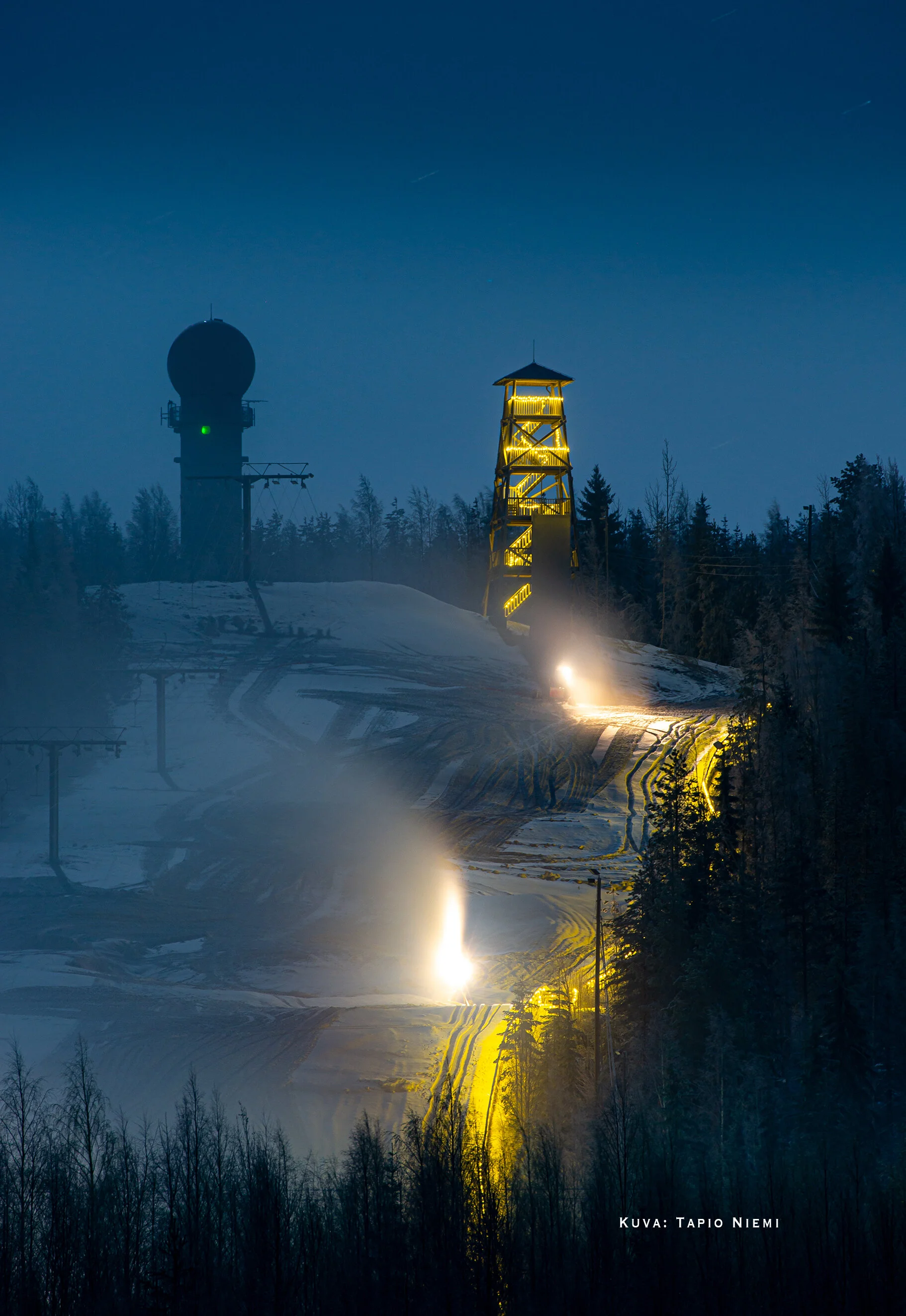
Lakeaharju also offers a slalom slope, a restaurant, a frisbee golf course, skiing and biathlon tracks, sheds and a caravan space.
More information: Craterlake Geotrail, destination 15
Location: Lakeaharjuntie 98, Vimpeli