SWEAT ON KUKKULANMÄKI DRUMLINS
The Tarvola track in Lappajärvi offers terrain for joggers where you are guaranteed to get sweaty. You can also take it easy — walk and enjoy diverse landscapes, beautiful nature and bits of cultural history of the terrain left behind by the ice age.
Drumlins of Finland and Southern Ostrobothnia
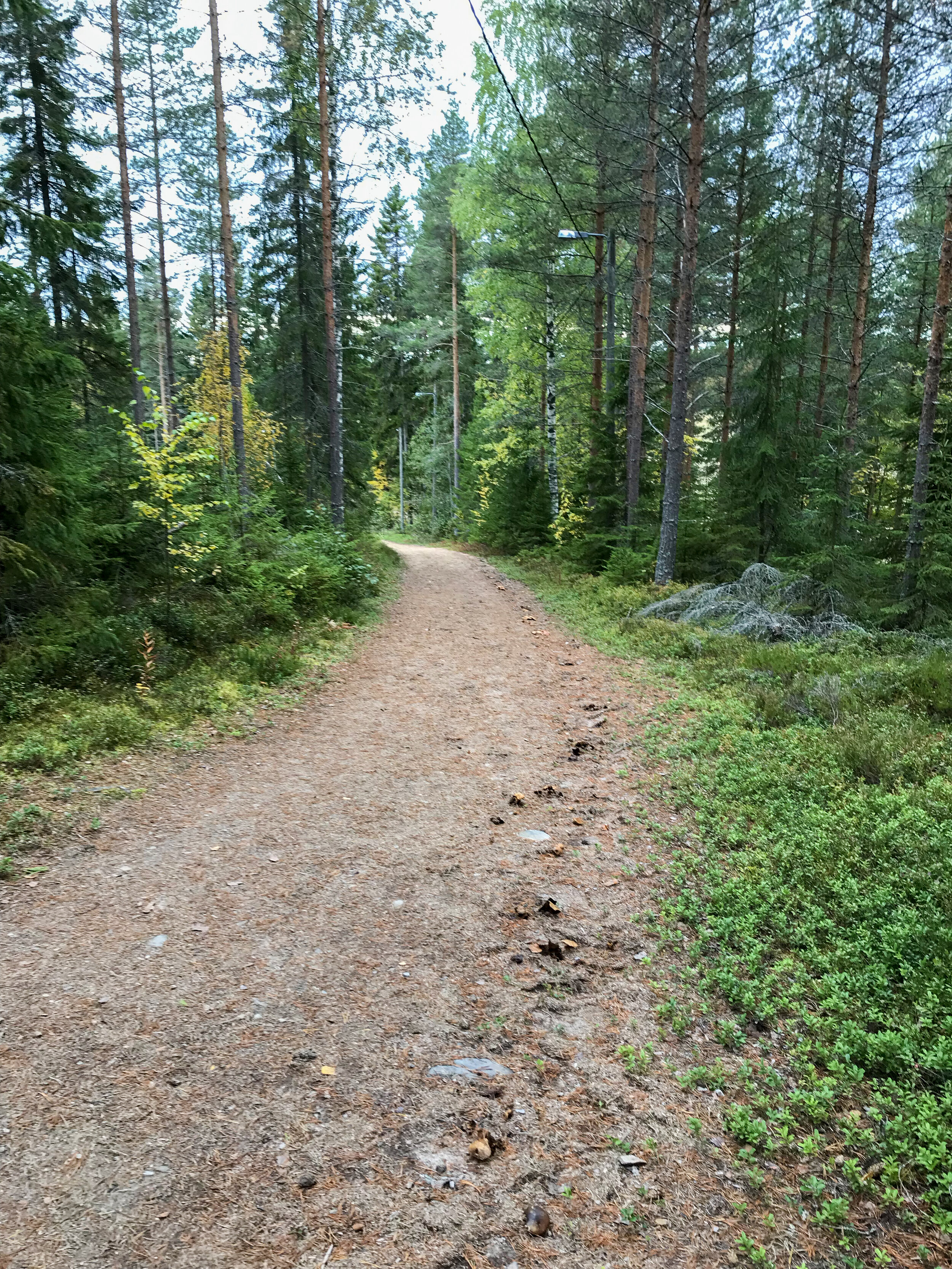
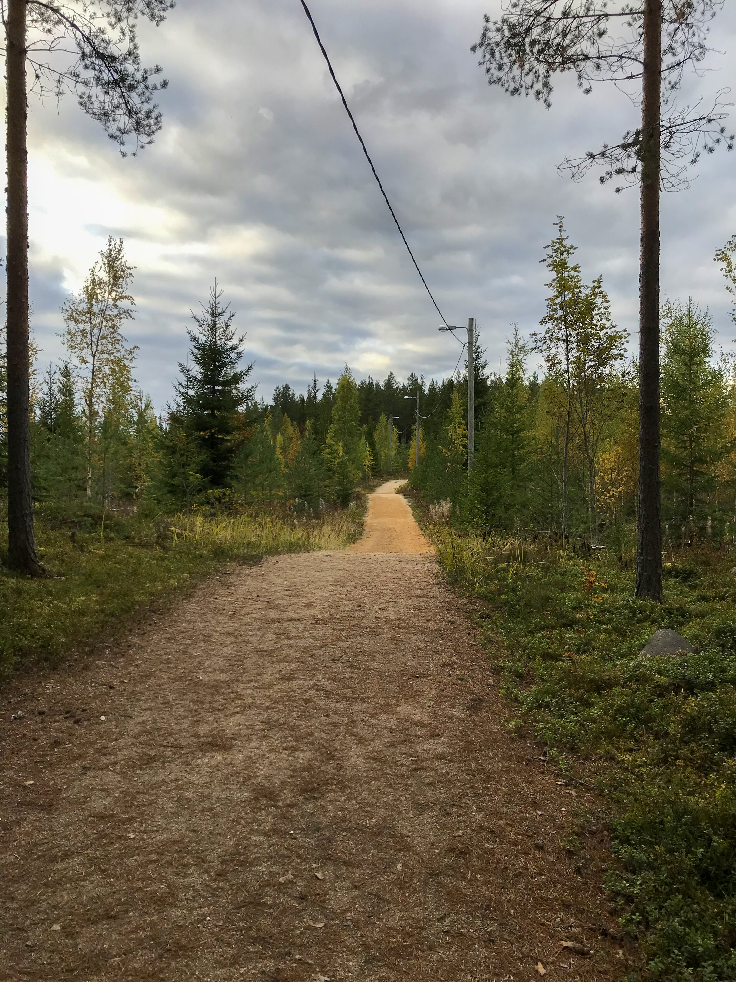
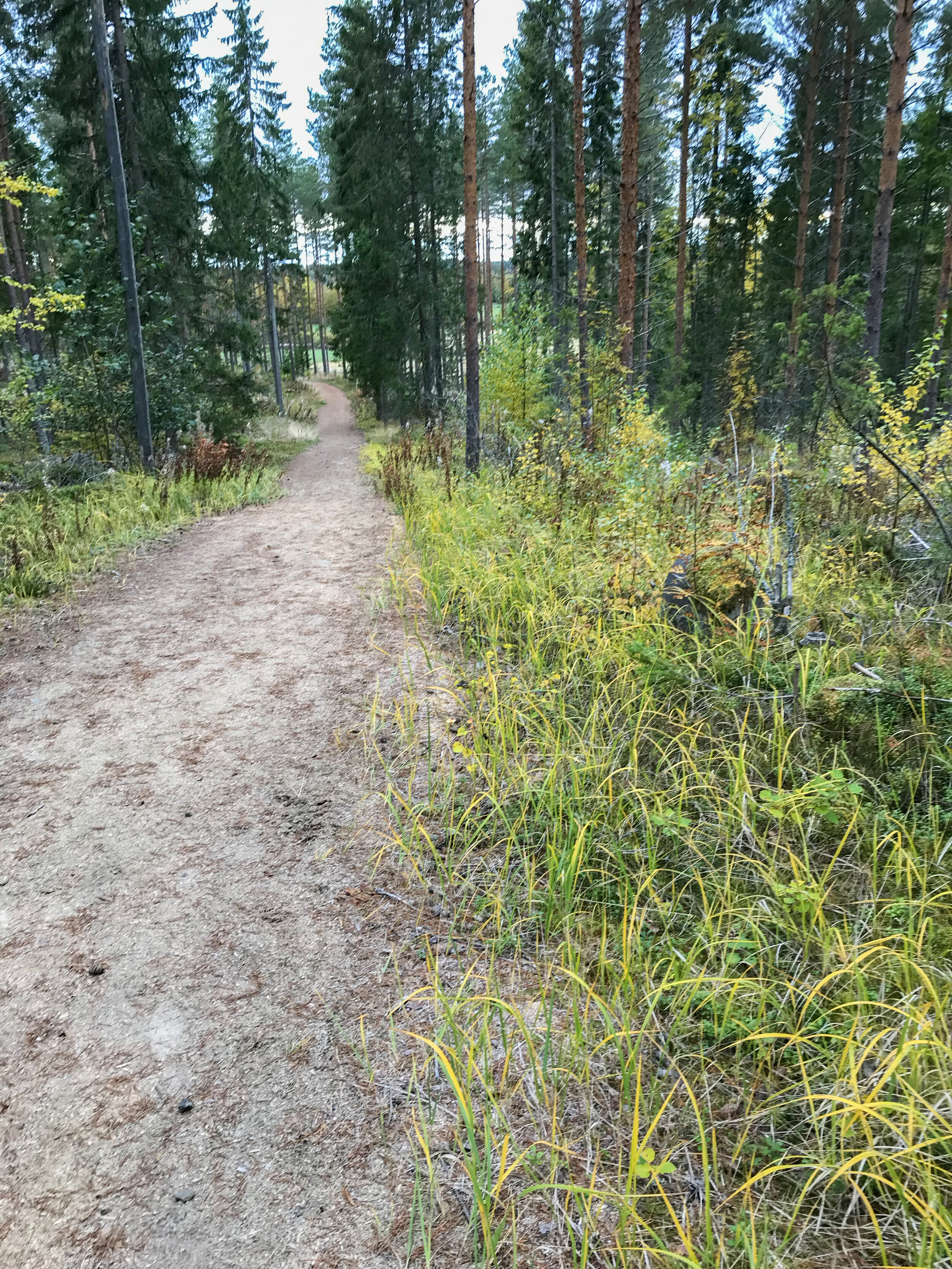
The Tarvola track on Kukkulanmäki (2.2 km) was built on a glacial landform known as a drumlin. Drumlins are elongated hills formed by the ice age.
During the ice age the flow of icecap in the middle of ice tongue has been strong.
The moraine at the bottom of the icecap had tightly packed spots, but also softer ones. The moraine came off easier from the soft spots. The loose material was carried by the flowing glacier and was layered behind tightly packed spots.
This formed shuttle-shaped ridges — drumlines aligned in the direction of ice flow. Their size and shape vary. They can be needle-shaped or teardrop-shaped. The largest drumlins are about 100 meters high and can be up to more than ten kilometers long.
The drumlines of Southern Ostrobothnia were formed about 11,000 years ago when the edge of the glacier tongue was on the Näsijärvi – Jyväskylä level. Lappajärvi is located on the southeastern edge of the Kokkola – Alajärvi drumlin field.
Drumlins are the dominant landform to the north and northwest of the Lake Lappajärvi. In addition to Kukkulanmäki, the Mynkelinmäki inhabited area is also located on a drumlin.
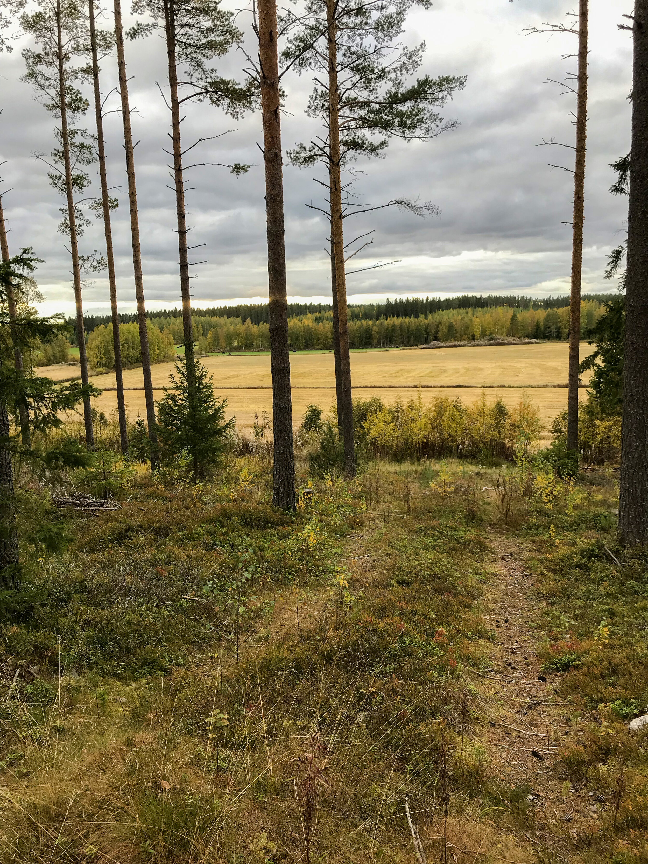
Drumlines are often quite difficult to detect in the terrain, but in digital elevation models they are easily seen. The Kukkulanmäki hiking track and forest thinning as well as the agricultural fields to the west make it easy to notice the elongated shape and steep sides of the drumlin.
Find out more about the local history
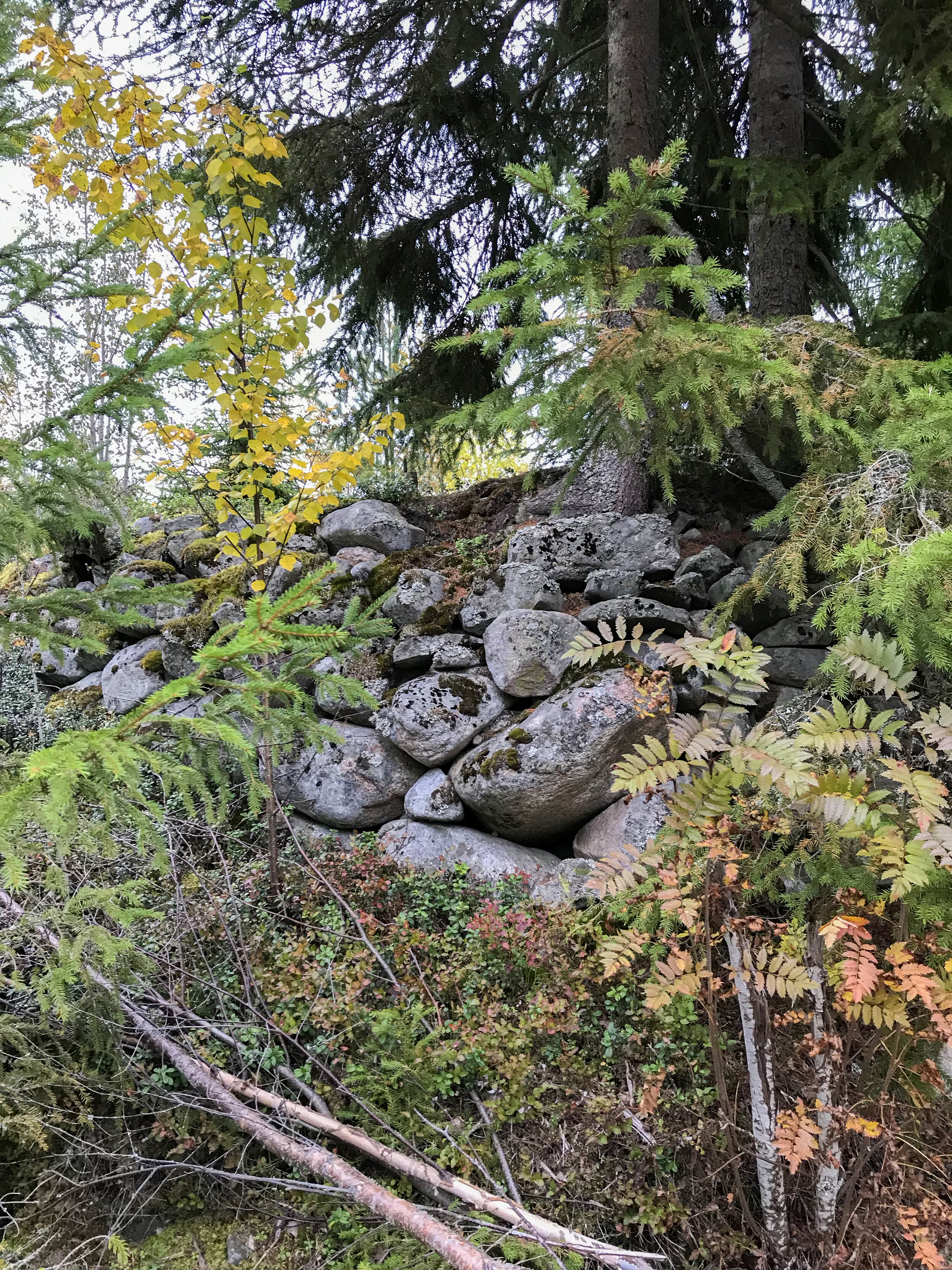
Kukkulanmäki is also an interesting site with respect to local history. About 400 m from the starting point, there are the remains of an old small stone cowshed. Such barns for one or two cows used to be very typical in the Lappajärvi area. Near the shed, about 40 m to the north, are the remains of a small house inherited from around the mid-19th century. There also is an old stone fence left. The ruins of Kivinavetta were once used as a hideaway for playing cards and production of sugar wine.
More information: Craterlake Geotrail, destination 2
Location: Kukkulanmäentie 43, Lappajärvi, Google Maps -link